Digital Levels
Leica Digital Levels
Highly precise levelling measurements
Digital levelling solution with touchscreen technology and automated features providing you the most reliable results.
Easy handling
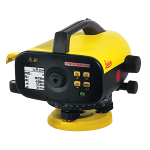
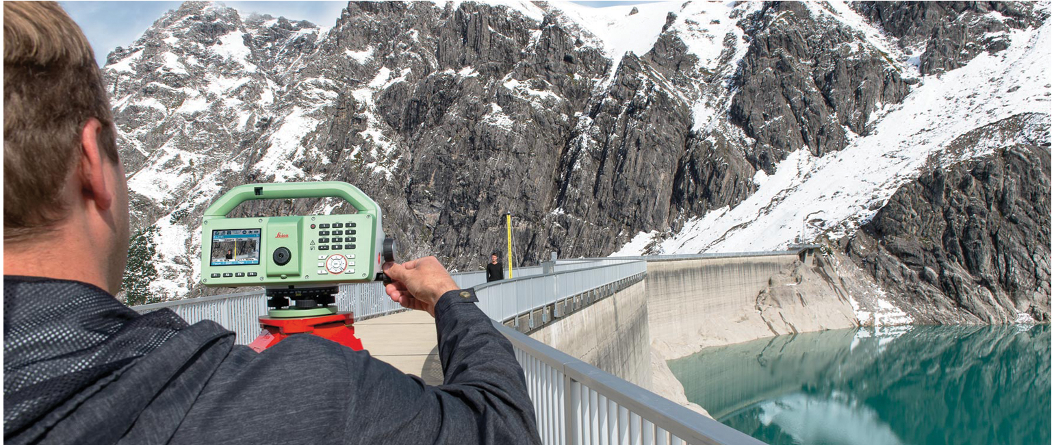
Improve the quality of your daily measuring tasks. Get the results simply by the push of a button. The one-button level is easy to use also without specific instructions or trainings. Glaring sun shine or rain does not stop the Leica Digital Levels as it is dust and jet-water protected. The results can be read-out from the highly visible LCD even in unfavourable light conditions.
Reliable and error free measurements
Avoiding expensive measuring errors can save you a lot of money. The build-in tilt sensor of the Leica Digital Levels prevents the system from measuring if you operate outside the compensator range. Due to this safety check, you can be sure to get always accurate results.
Leica LS15 and LS10 digital levels alleviate demanding levelling tasks on any site. Automated functions and industry-leading 0.2mm accuracy allow users to easily demonstrate their measuring skills while effectively completing any project.
From autofocus to touchscreen displays with clean layouts, the entire measurement process is made more efficient with LS15 and LS10 digital levels. Common levelling errors, like misreading the staff or transcription mistakes, are worries of the past. Providing the most reliable results from immediately understandable line flows with image-supported colour visuals, these levelling solutions make the professional’s daily tasks a more enjoyable experience.
Users profit from Leica Geosystems’ experience as inventors and industry leaders of digital levels. Honing the digital level into an art form, these solutions collect results faster with the highest accuracy available.
Infinite possibilities
The experience of Leica Geosystems LS digital levels isn’t finished in the field. After easily transferring your data to the office, Leica Infinity processes your results hassle-free back in the office. This intuitive software enables easy-to understand displays of complex levelling data.
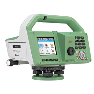
Leica Leica LS15 & LS10
Documents
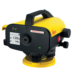
Leica Sprinter 50
Documents
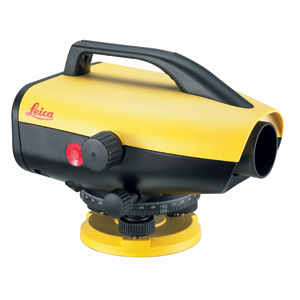
Leica Sprinter 150
Documents
